Systematic Navigation
Systematic Navigation began in 1991 when somebody gave me a book by Mike Harris called Astro Navigation by Pocket Computer. Each chapter discusses an element of position, sights and sight reduction to form a working programme in Basic. The objective was to complete a fix for up to three sights. This book was ahead of its time as there were few solutions available without the use of lengthy mathematics and an almanac. Nevertheless, I worked through each of the chapters and after some weeks produced a working Basic programme.
Later I completed versions of the programme to run on a Psion 3 and 5 but the speed of technology change made it uneconomic to develop the programme on multiple platforms.
During the winter of 1991 to 1992, I rewrote this programme in Microsoft Excel and used data available from the UK Nautical Almanac Office to automate some of the maths. This file has been updated ever since in five yearly intervals as new polynomial data becomes available.
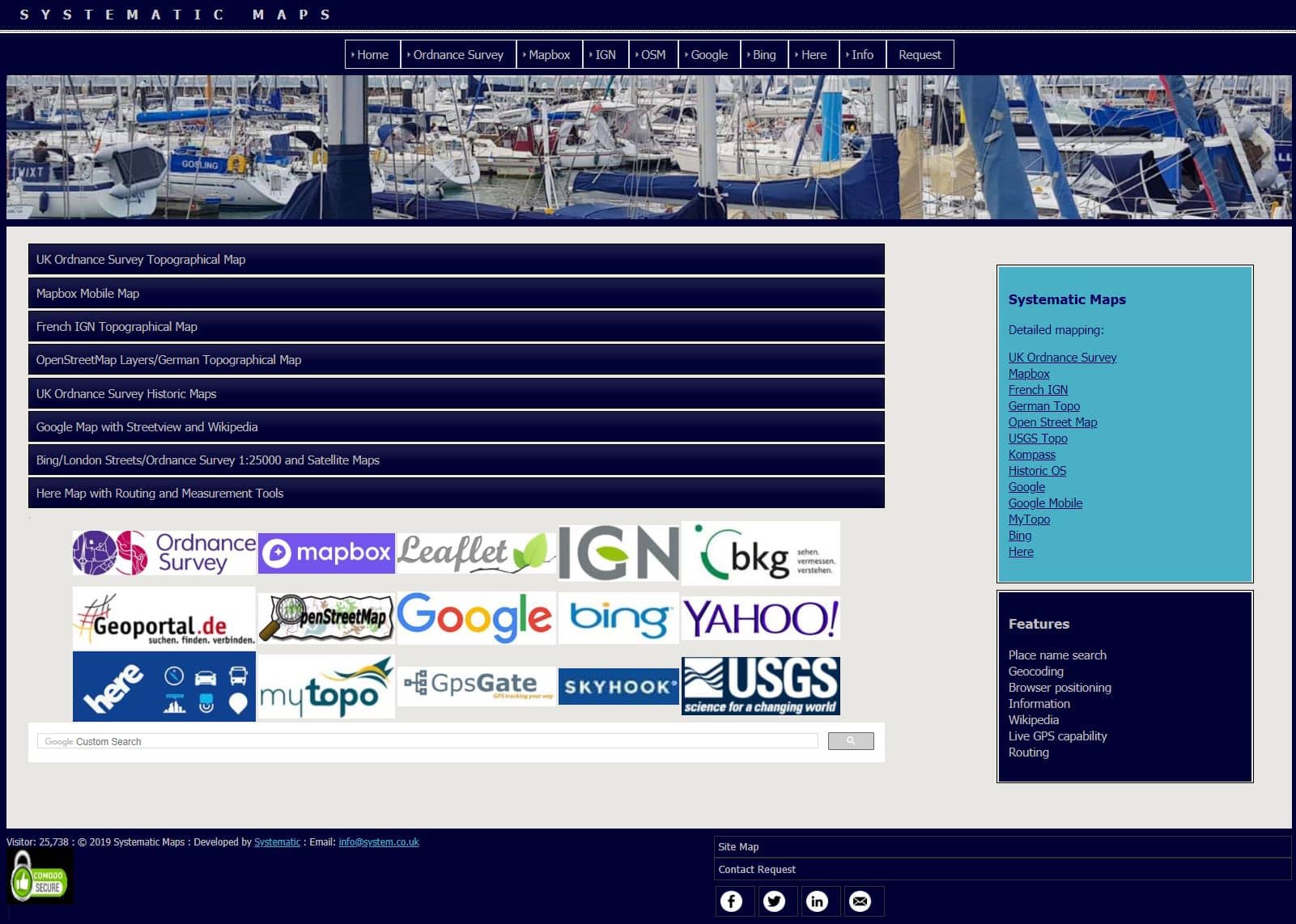
Systematic Maps started in 2009 when I noticed software from Franson that allows a GPS feed in a web browser together with the UK Ordnance Survey allowing non-commercial use of some of their topographical and other data.
Version 1 in May 2009 consisted of a basic map with GPS and I soon added maps from Cloudmade and IGN France to form a group of maps loaded from an index page.
In version 2 completed in October 2009, I added OpenStreetMap, Google, MultiMap and Navteq with features such as routing, weather, Wikipedia and charts depending on the map. Help pages also linked to the maps with examples.
Version 3 was completed in June 2010 and added Bing maps and a number of new map types as layers such as Google, Bing, European transport and others. Google Maps v2 has now been deprecated and a new mobile map based on Google v3 was also added. Location awareness was also included using HTML 5 or LoKi Skyhook.
 |
||||
 |
|
Version 4 in August 2011 brought a major upgrade with all maps except Navteq and MultiMap usable on mobile devices such as iPhones and iPads.
At the end of 2011, Microsoft removed MultiMap to concentrate on Bing Maps. Similarly Osmarender maps are no longer available and therefore the maps list was updated. New versions have been added to consolidate all the mapping and web address changes. In addition, location services were extended so that maps open at the user location wherever possible.
The interface was fully revised to use the same interface and menu structure as Systematic Finance. Since 2011, new maps such as USGS have been added and other maps updated.
The current SysMaps version is shown at the bottom of each map. These updates consolidate the site as a useful source of topo, road and satellite maps and associated information.